HIGHLIGHTS
- REMOTE PLACES RARELY VISITED BY MASS TOURISM
- GREAT DIVERSITY OF LANDSCAPES AND DESTINATIONS
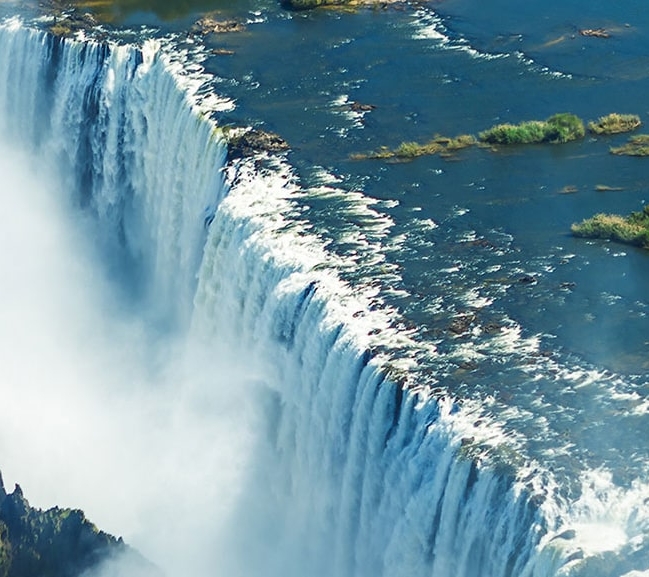
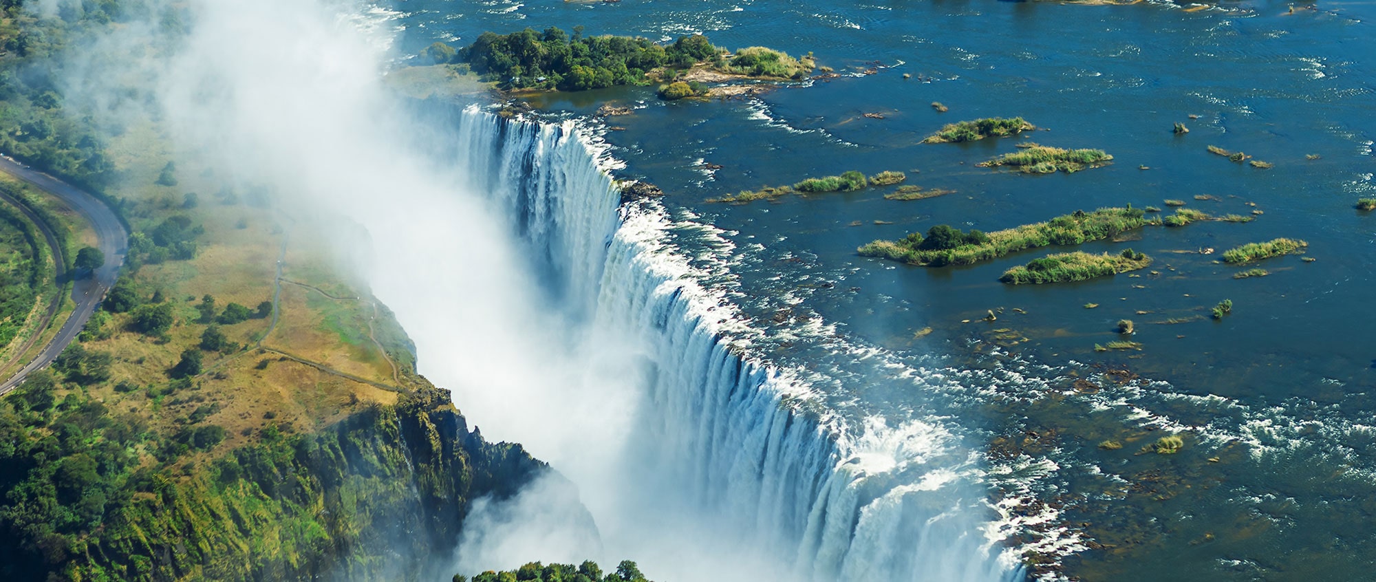
- HOME OF THE MAGNIFICENT VICTORIA FALLS
BIOTIC ZONES
- BUSH SAVANNA WITH MIOMBO AND MOPANE
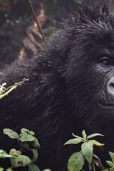
- TROPICAL AND MOUNTAIN RAINFOREST
WILD LIFE
- 200 SPECIES OF MAMMALS AND MORE THAN 4,400 PLANT SPECIES
- 694 BIRD SPECIES
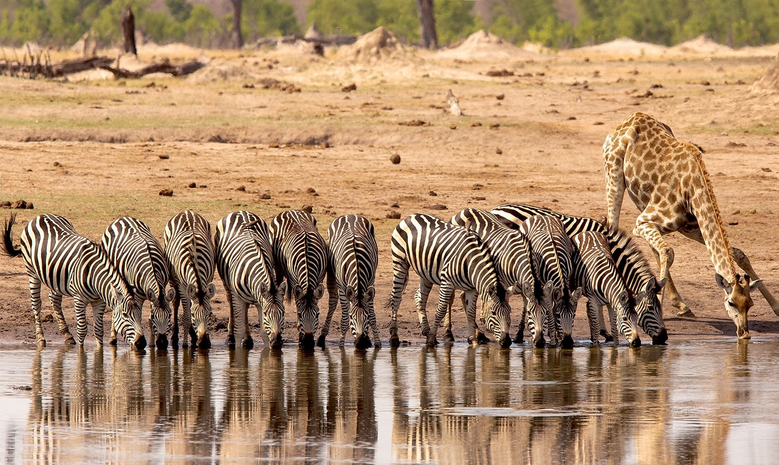
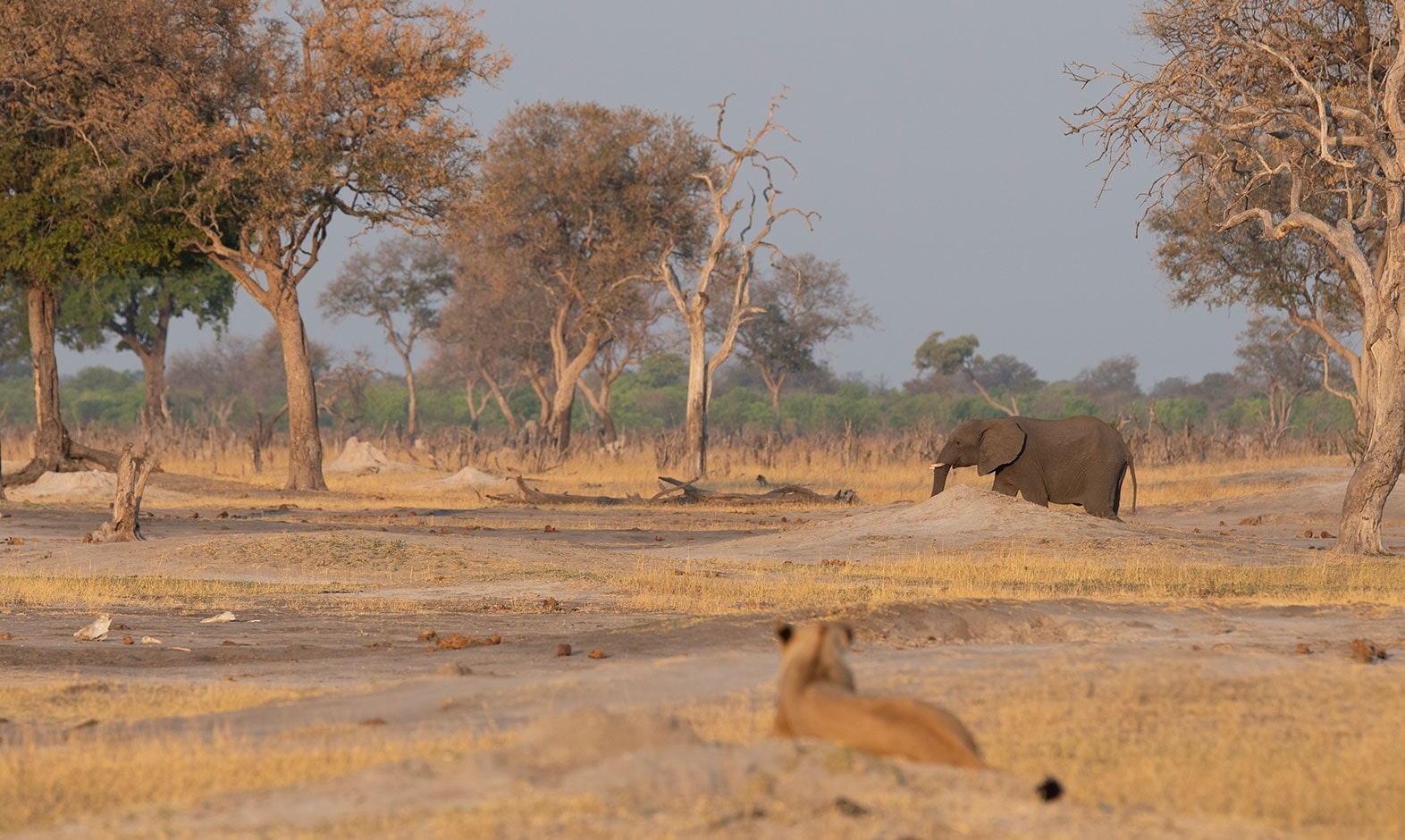
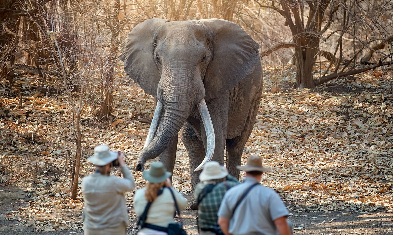
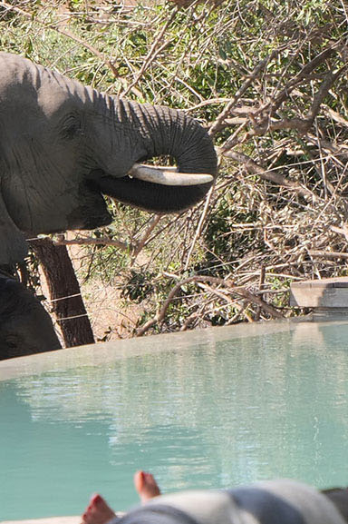
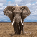
- HUGE ELEPHANT POPULATION
- EASY SIGHTING OF WILD DOGS
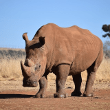
- LARGE RHINO POPULATION UNDER STRICT CONSERVATION AND PROTECTION
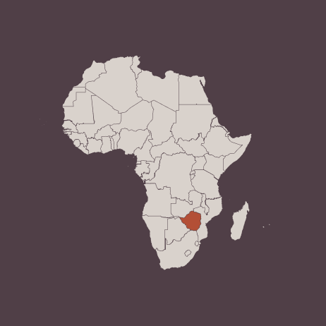
Zimbabwe covers an area of 390,757 km2 and shares borders with Mozambique to the east, South Africa to the south, Zambia to the north, and Botswana to the west.
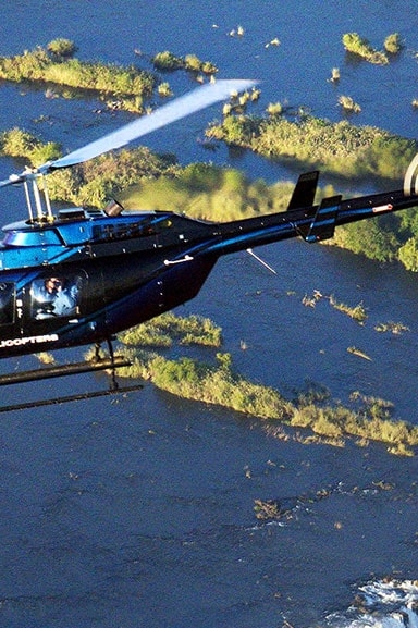
Its most important rivers are the Zambezi and the Limpopo, the latter known for large seasonal variations in flow and the Zambezi, in turn, the river of the Victoria Falls and the largest dam in Africa, Lake Kariba, on the border with Zambia.
75% of the country corresponds to a rolling plateau that varies between 600 m and 1,645 m in altitude, with the highest and lowest regions called the Highveld and the Lowveld, respectively. The latter corresponds to floodplains of grasslands and shrub forests at the base of the Zambezi and Limpopo rivers.
Its main natural destinations are Mana Pools National Park, Hwange National Park, Victoria Falls and Zambezi National Park, Matusadona National Park, Gonarezhou National Park, and the Savé Valley Conservancy.
TOP DESTINATION
Mana Pools National Park
It has an area of 2,196 km² and its name in the Shona language means – “four” – in reference to the 4 lagoons in the park.
The Zambezi River, the fourth longest in Africa, borders the park to the north and is a fundamental artery of life during the dry seasons.
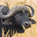
It is known for 117 species of mammals, 368 bird species, a dense population of elephants, hippos, and buffaloes.
Mana Pools is famous for a male elephant named Boswell, who adapted his behavior to feed more efficiently on tender tree leaves by standing on his hind legs.
The climate is divided into rainy and dry season.
Rainfall averages approximately 650 mm and is concentrated between November and April.
The average annual maximum temperatures hover around 30 ºC (95 ºF) and 23 ºC (82 ºF), respectively.
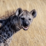
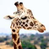
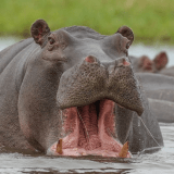
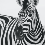
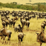
List of Safari Animals


Our travelers favorites
Customized itineraries designed especially for you
Let’s plan your trip to Africa together
Our travel experts are ready to start creating the adventure of your dreams.
