


HIGHLIGHTS
- LARGE NUMBER OF DESTINATIONS FREE OF MASS TOURISM
- GREAT DIVERSITY OF LANDSCAPES AND ACTIVITIES
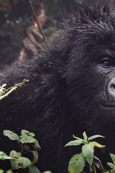
- AMAZING BIODIVERSITY
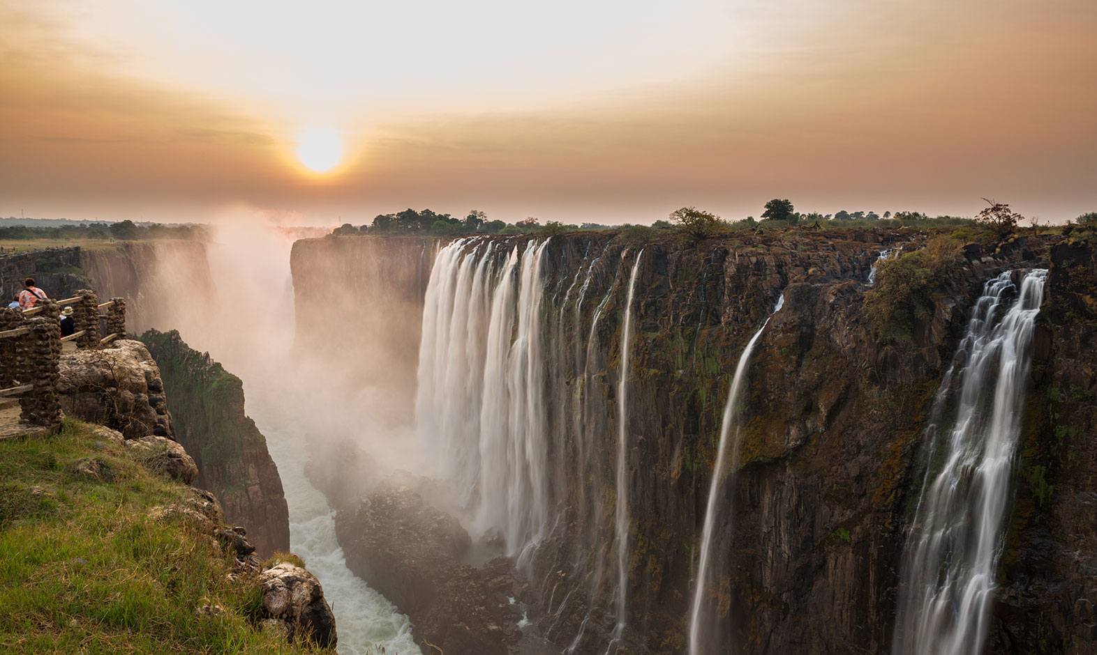
- HOME OF THE MAGNIFICENT VICTORIA FALLS
BIOTIC ZONES
- BUSH SAVANNA WITH MIOMBO AND MOPANE
- SEASONAL FLOOD MEADOW
- RAINFOREST AND ZAMBEZI GRASSLAND
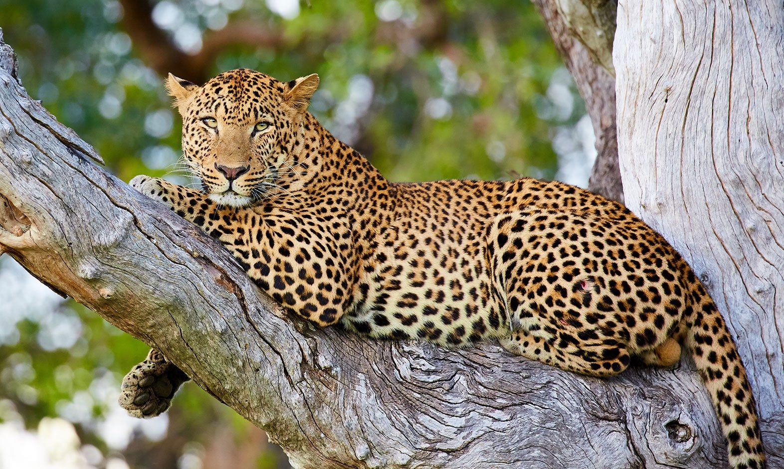
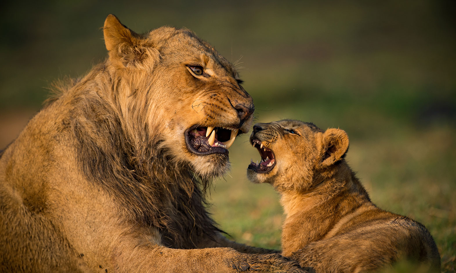
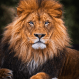
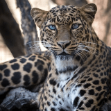
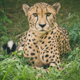
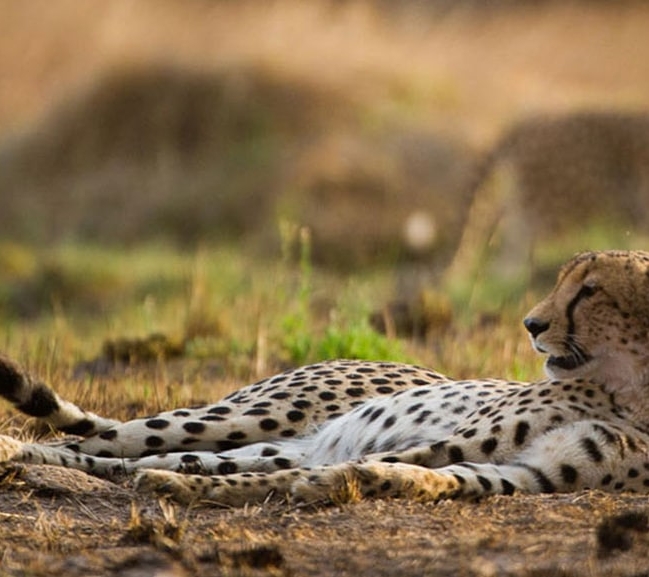
WILD LIFE
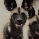
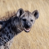
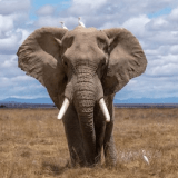
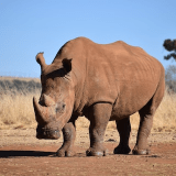
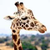
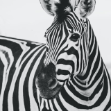
- 224 SPECIES OF MAMMALS AND 779 SPECIES OF BIRDS
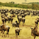
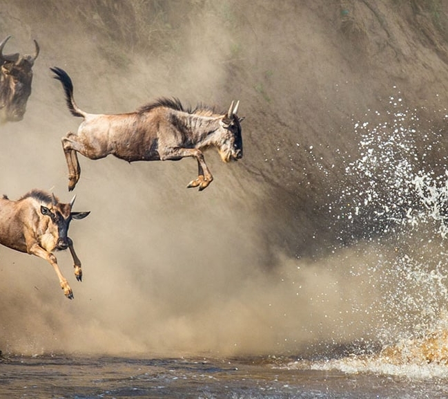
- THE SECOND LARGEST WILDEBEEST MIGRATION ON THE CONTINENT
- LARGEST MAMMAL MIGRATION ON THE PLANET WITH 5 TO 10 MILLION FRUIT BATS
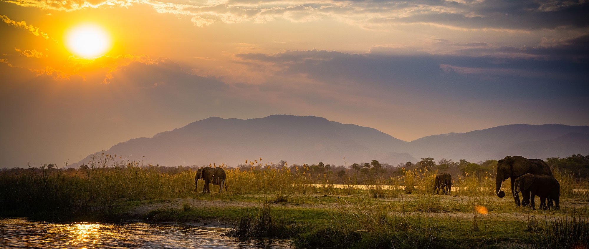
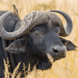
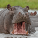
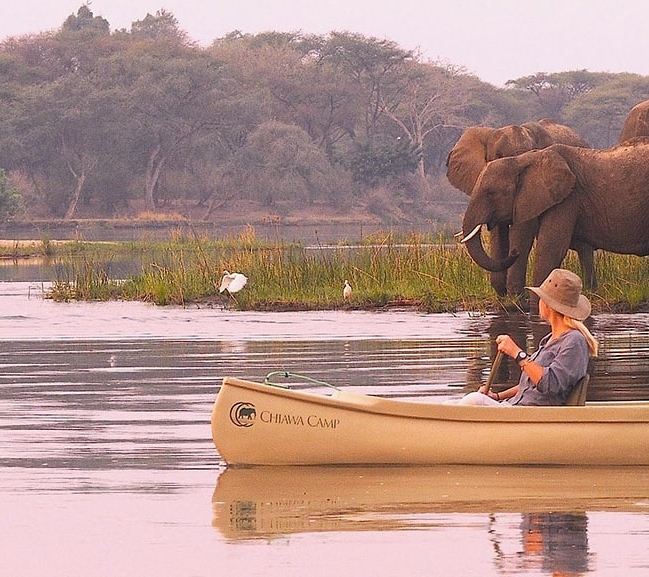
- ONE OF THE LARGEST POPULATIONS OF THE COMMON HIPPOPOTAMUS ON THE CONTINENT
Zambia covers an area of 752,618 km2 and is the country that shares the most borders in Southern Africa with the D.R.C. in the north, Tanzania, Malawi and Mozambique to the east, Angola in the west, and Zimbabwe and Botswana in the south.
It is known for its rivers, with major tributaries of the Congo River flowing along the northern boundary, and the Luangwa River to the east. Moreover, the Kafue River crosses one of its most emblematic parks and the Zambezi River skirts the southern border, giving rise to the Victoria Falls. In addition, the Kalambo River has a scenic waterfall on its way to Lake Tanganyika.
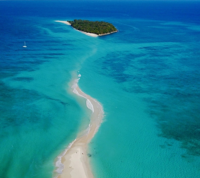
Its main natural destinations are the South Luangwa and North Luangwa National Parks, Lower Zambezi National Park, Kafue National Park, Liuwa Plains National Park, Kasanka National Park, Bangweulu Wetlands, and Victoria Falls.
TOP DESTINATION
South Luangwa National Park
With an area of 9,050 km², this is the country’s second largest park. Its altitude ranges from 500 m to 1,550 m, and it is characterized by very gentle slopes and large vegetation zones.
The park’s largest natural attraction is the Luangwa River, which flows through the eastern part of the park. The enormous biological richness of the area is due to the seasonal floods generated by the river and its constant changes of course.
The climate is divided into rainy and dry seasons and is mainly temperate, although during June and July night temperatures often drop below 15 ºC (59 ºF).
Rainfall averages approximately 850 mm and is concentrated between November and March.
High temperatures range from 35 ºC (95 ºF) to 25 ºC (77 ºF) throughout the year.
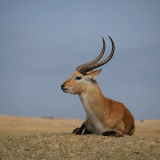
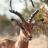
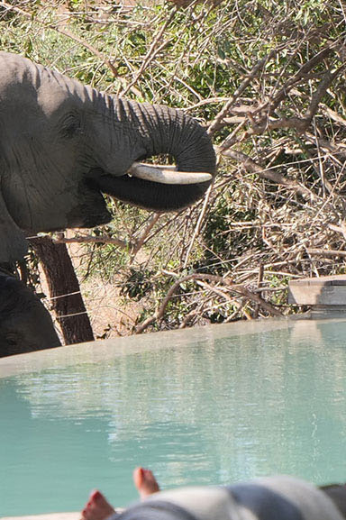
List of Safari Animals

Other destinations to discover
Our travelers favorites
Customized itineraries designed especially for you

Let’s plan your trip to Africa together
Our travel experts are ready to start creating the adventure of your dreams.


